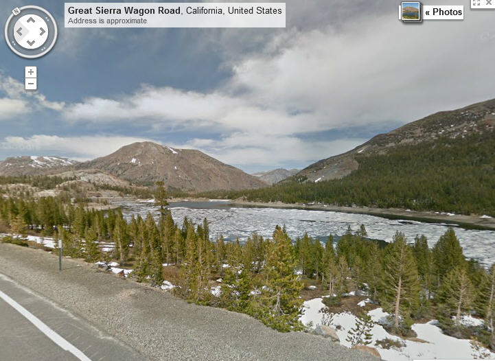
If you look up your address in Google Maps, there’s a chance that you’ll see your car parked out in front, assuming you’re on one of the many routes captured by Google street view. These images, for the most part, were taken from specially equipped vehicles with a rotating camera on top.

Now Google is turning its lenses towards national parks, not only by using these same vehicles to photograph what can be seen from roads, but also backpack mounted cameras to record the view from trails and other places that cars don’t go.
On Google’s Lat Long Blog, there are some examples as well as links to a variety of places you can visit including Yosemite’s Inspiration Point and a view of giant redwoods at Redwood National Park, Glacier Point in Yosemite, a road through Furnace Creek in Death Valley, California and Joshua Tree National Park.
Be the first to comment